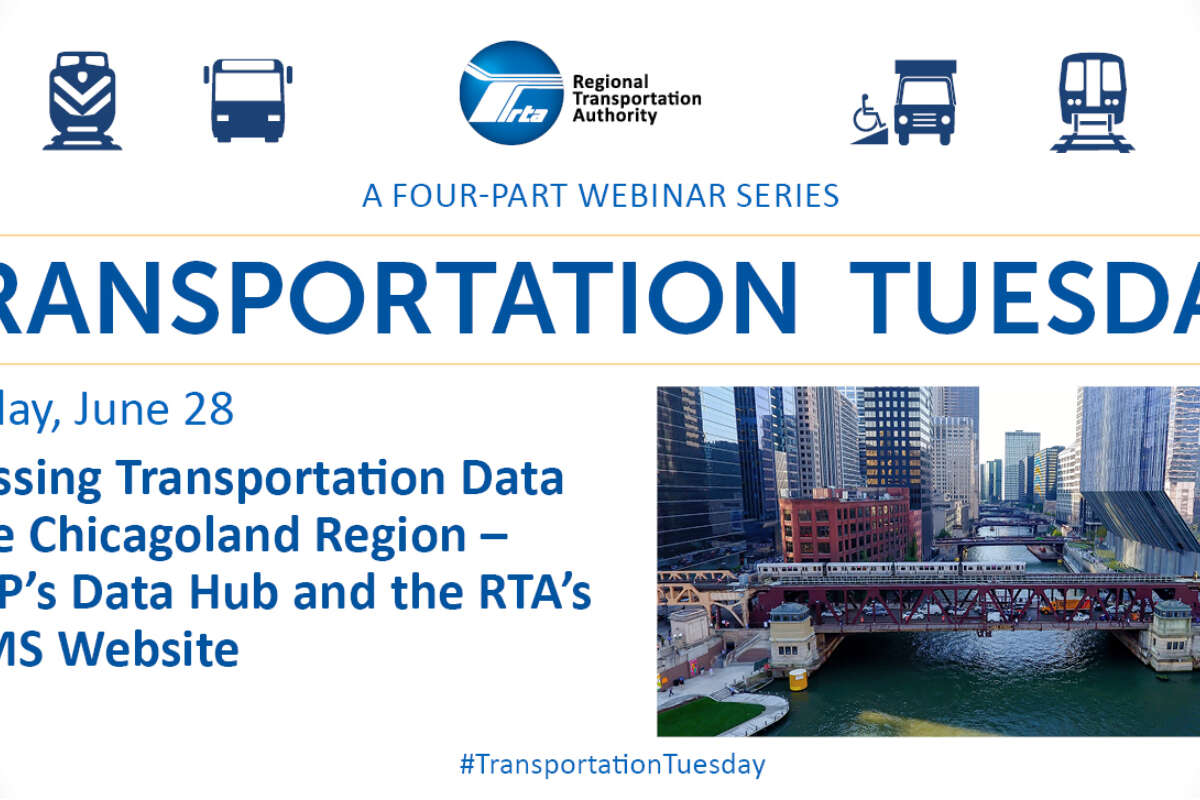
Transportation Tuesday Recap: Accessing Transportation Data in the Chicagoland Region
July 1, 2022
July 1, 2022
The RTA's Mapping and Statistics website (RTAMS) and CMAP's Data Hub are two open data resources in the Chicagoland area that help experts make informed data-based decisions to improve the region's transportation network.
In the final webinar of the RTA's four-part Transportation Tuesday series, a panel featuring analysts from the RTA and CMAP, moderated by the RTA’s Data Services Manager Brad Thompson, discussed how these platforms provide data in a transparent and accessible manner. The panelists reviewed the available datasets and tools on the platforms and gave a brief demo on how to use them.
Chris Szmurlo, a Senior Analyst at the RTA, started the session with a brief overview of the data collection and output process of the RTAMS system's most visited content area, ridership statistics. The user-friendly platform features a series of interactive graphic displays for easier comprehension of the data.
“On a regular basis, the RTA receives ridership data from the three service boards [CTA, Metra, and Pace],” Szmurlo said. “We then present these figures in an accessible and interactive fashion on the website.”
Hersh Singh, a Principal Analyst at the RTA, reviewed the RTAMS website's newly added mapping and GIS portal. Singh explained that the newly added content area was designed to improve the platform's user experience and transparency.
The mapping and GIS portal is a central data repository that houses GIS data from the ArcGIS Online platform. Singh explained that the new portal consolidates a bounty of GIS data into the RTAMS resource.
"Over the past ten years, GIS users and content at the RTA have more than doubled,” Singh said. “Because we had so much content that we were authoring, we thought a valuable resource for the general public would be this one centralized location, so we launched the RTA mapping and GIS portal.”
CMAP's data hub houses raw data, formatted table data and completed project reports. CMAP Associate Analyst Alexis McAdams provided a demonstration underlining the various features of the hub. McAdams explained that CMAP's platform is content-heavy as it includes archived data from the previous agencies which formed the planning agency, the Chicago Area Transportation Study and the Northeast Illinois Planning Commission.
The event ended with a brief Q&A session and an invitation for attendees to engage with the tools demonstrated throughout the webinar. Thompson said all these tools exist in an effort to increase transparency and innovation. By inviting anyone to analyze the available data, Northeastern Illinois residents can feel ownership over their transit system and suggest strategies for improvements.
Catch up on the previous Transportation Tuesdays webinars here.
Subscribe to our Newsletter
Related Articles
 RTA to host Suburban Transit Summit to gather feedback and build support for improving service with new funding
To gather feedback and build support for improving transit service with new, expanded funding, the RTA is hosting a half-day Suburban Transit Summit in Arlin...
October 21, 2024 RTA Citizens Advisory Board: Get to know Karl Gieseke
Following through on a key recommendation from regional transit strategic plan Transit is the Answer, the RTA launched a newly expanded, rider-focused Citize...
October 15, 2024 Why Illinois legislators must reach a transit funding solution by spring 2025—and what happens if they don’t
Chicago’s regional transit system is facing a projected operating shortfall of more than $730 million annually—or nearly 20% of the regional operating budget...
October 9, 2024 CTA presents on Red Line Extension, Pace discusses network revitalization plan during presentations to RTA Board
CTA President Dorval Carter and Pace Executive Director Melinda Metzger presented midyear updates to the RTA Board of Directors during their meeting on Septe...
October 3, 2024 Transit Station Activations in Rogers Park, Woodlawn bring live music, pop-up plant-based festival for riders to enjoy
In May, the RTA announced more than $120,000 in funding for eight Transit Station Activation projects near CTA, Metra, and Pace stations and stops. The proje...
October 3, 2024 Illinois should learn from past transit funding crises and achieve sustainable funding
Public transit operations in the Chicago region have been chronically underfunded—particularly at the state level. Today, state funding makes up only 17% of ...
October 1, 2024